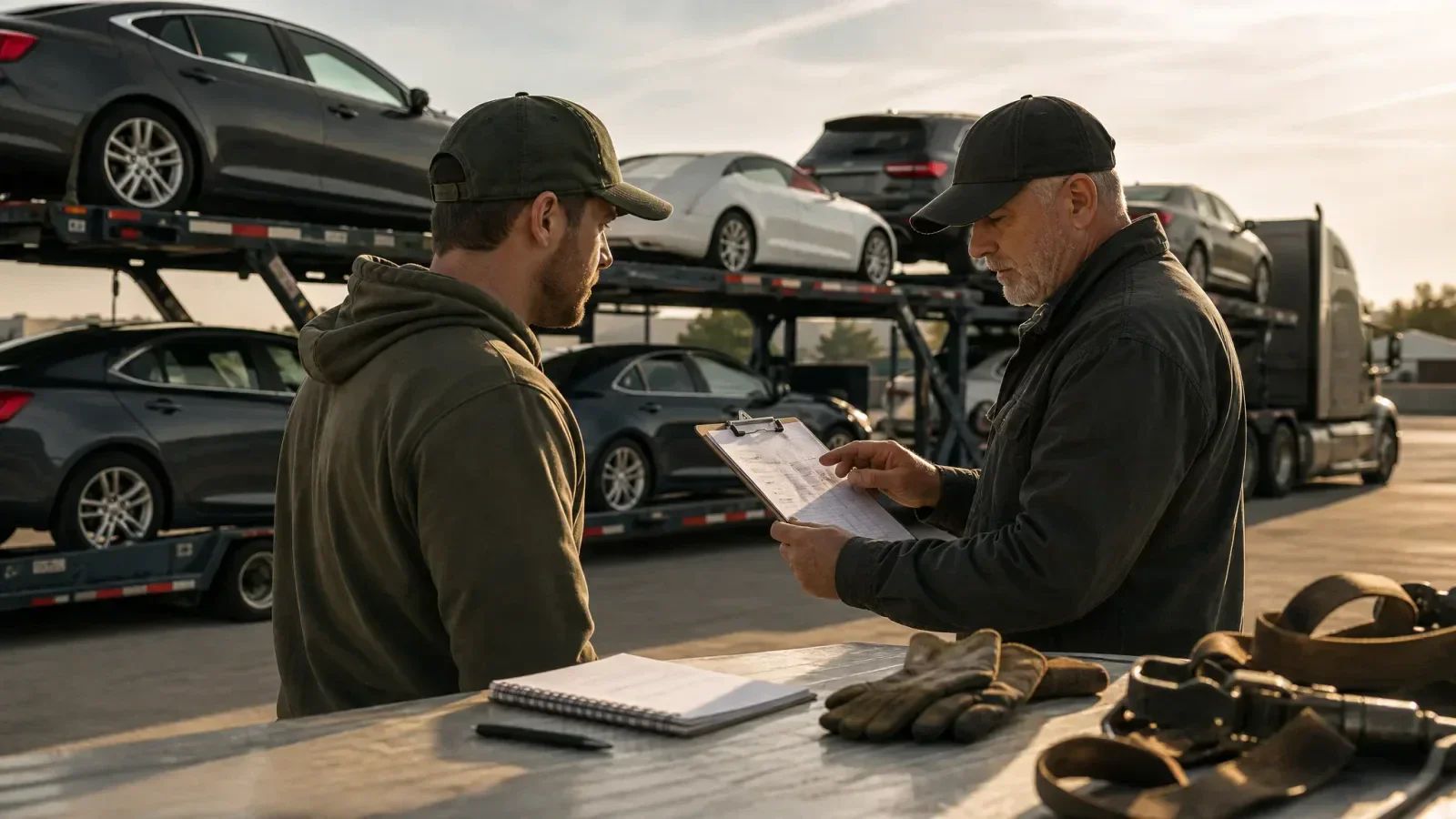
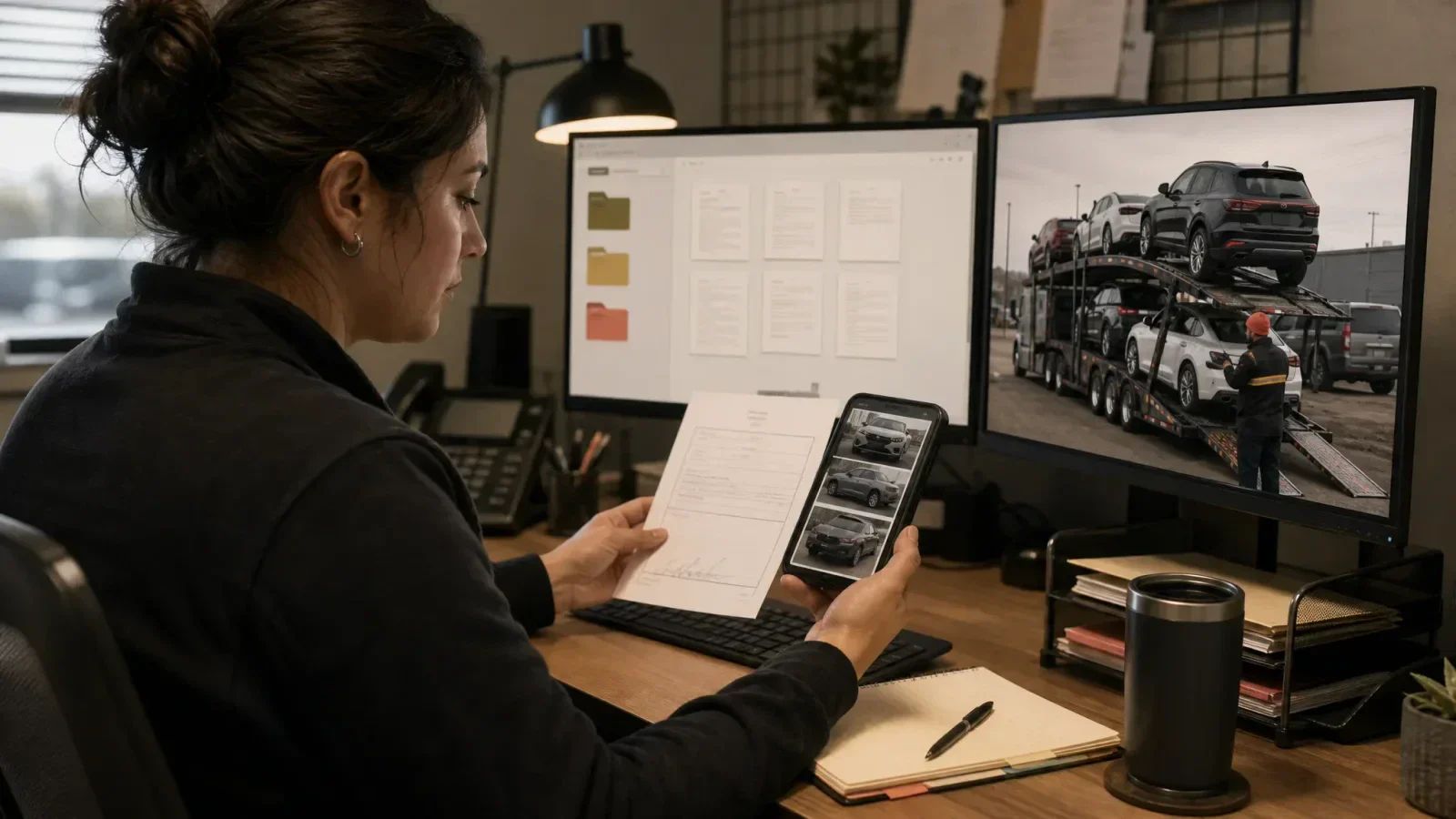
TruckTA Adds Google Maps Truck Routing for Car-Hauling Fleets
TruckTA now uses Google Maps Platform’s Large Vehicle Routing for truck-specific route planning, in-app driver navigation, and dispatcher route review.
By TruckTA Team · Product guidance
In this article
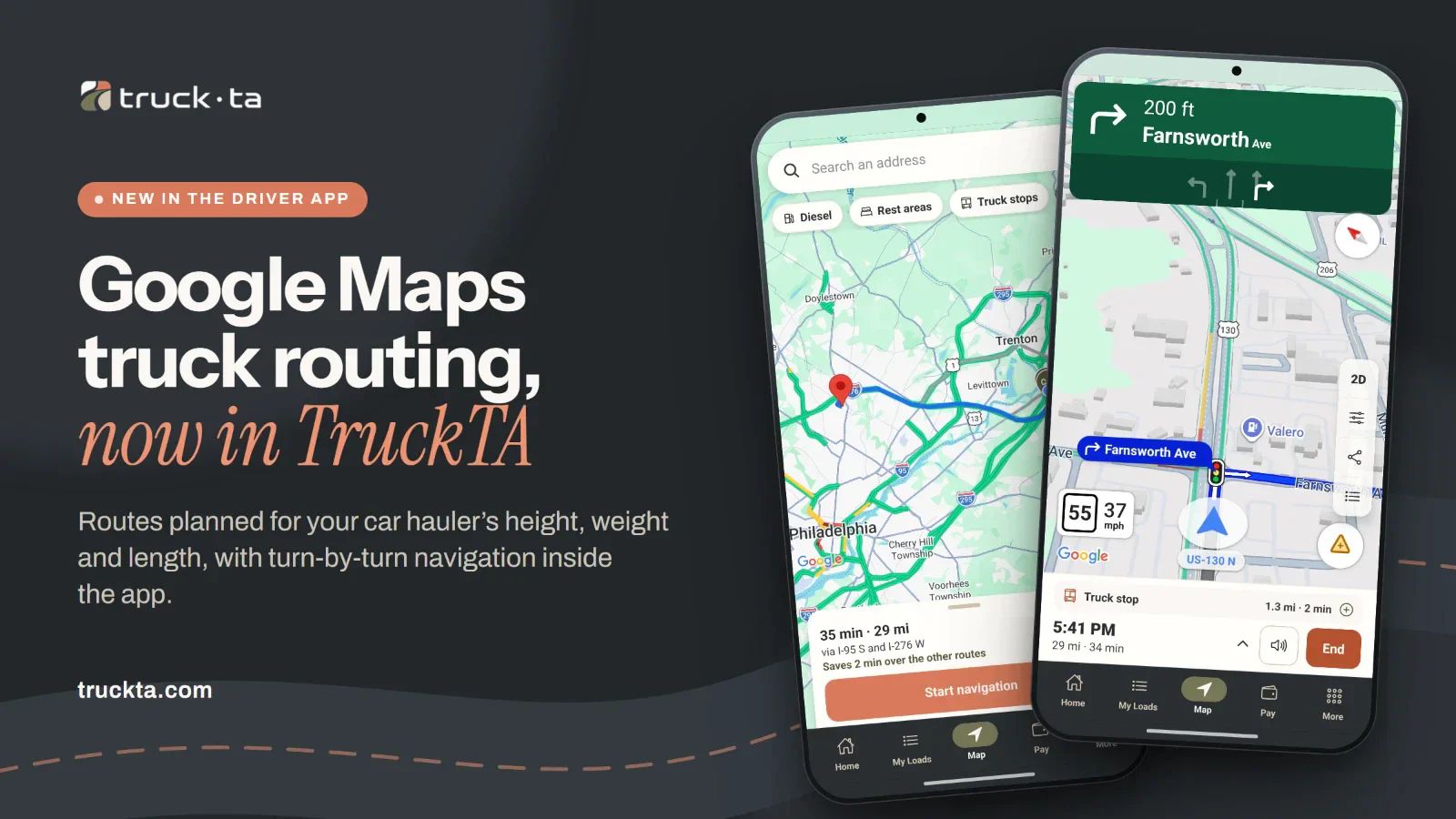
A delivery address tells you where to go. It doesn’t tell you whether the road fits a loaded car hauler. TruckTA now uses Google Maps Platform’s Large Vehicle Routing (LVR) to plan truck-specific routes in the Driver App and web route planner. Drivers get in-app navigation, while dispatchers can review the road path and distances between assigned load stops.
The change brings routing closer to the work you’ve already dispatched. A driver can open directions from a pickup or delivery address, review the route for the truck, and follow spoken turn-by-turn directions without switching to another maps app.
A car route doesn’t answer a car hauler’s questions
When you’re planning a lane, the shortest-looking road isn’t the whole decision. The truck’s dimensions and loaded weight matter. So does the sequence of pickups and deliveries. You need to know what route you’re reviewing before you use its mileage or drive time to plan the trip.
This is different from opening the regular Google Maps app on a phone. Its driving routes are designed for cars, not for a truck’s size or weight. Google’s own help page warns that those directions may include car-only roads. (support.google.com (opens in a new tab))
Google Large Vehicle Routing is a Google Maps Platform capability for businesses. It calculates routes and travel times using height, width, length, weight, axle count, and hazardous-material classes, attempting to avoid low bridges and weight-restricted roads. (developers.google.com (opens in a new tab))
Google lists LVR as generally available in the contiguous 48 US states, with access limited to approved customers. TruckTA uses that capability to give drivers Google’s familiar navigation map with a route planned for the truck. (developers.google.com (opens in a new tab))
Set the truck, review the route, and navigate in the Driver App
Truck navigation lives in the Map tab of the TruckTA Driver App on iPhone and Android. Before planning a trip, the driver can open Route options to review height, width, length, weight, axles, and hazardous-material classes. An avoid tolls option is also available.
The starting profile is a full-size car hauler: 13 ft 6 in high, 8 ft 6 in wide, 80 ft long, 80,000 lb, and five axles. The driver can change those settings, and the changes stay on that phone. Treat the starting profile as a setup to check against the actual truck and load, not a measurement of your equipment.
The driver’s unfinished pickups and deliveries from assigned loads appear under Your stops. Tapping a pickup or delivery address on a load opens Map with directions to that location. For a trip with several stops, Route all my stops plans them in order. A Driver App trip holds up to ten stops.
Before starting navigation, the driver sees the route, miles, drive time, main road, and the truck profile used to plan it. For a single destination, the map can offer up to two other truck routes. That gives the driver a chance to compare the available road paths before choosing one.
Once navigation starts, spoken turn-by-turn directions run inside TruckTA on Google’s navigation map. In practice, drivers get Google Maps navigation for trucks without leaving the app they already use for the load. If the driver leaves the route, TruckTA automatically plans a new truck route. There’s no need to copy the next address into a separate maps app.
When no route avoids every truck restriction, TruckTA warns that the route may cross a road the truck is not allowed on. The driver must acknowledge that warning before starting. Acknowledging it is not permission to use a restricted road.
TruckTA’s truck navigation covers the lower 48 states. It does not show truck speed limits or truck toll prices. Drivers remain responsible for posted signs and restrictions, including when navigation is active.
Review the dispatched trip from the office
In the web app’s route planner, a dispatcher opens a driver’s route and selects that driver’s load stops. The planner supports up to 20 route points. The dispatcher sets the stop order, then reviews truck-route totals and stop-to-stop distances on a Google map.
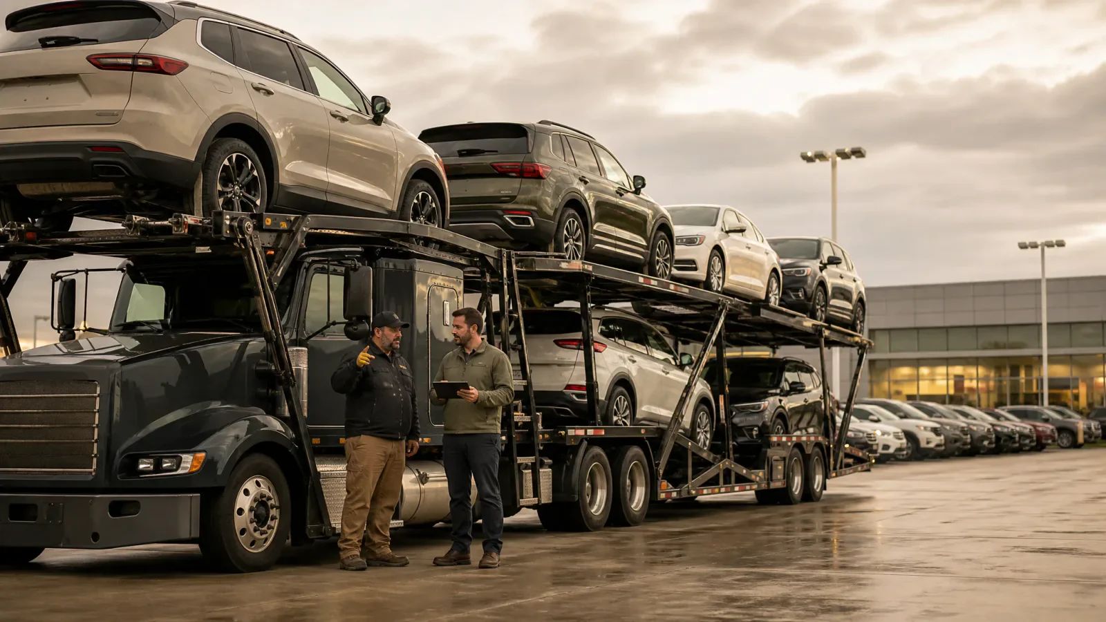
The displayed road path is a Google truck route for a full-size car hauler. That gives the office a truck-based route to review rather than a passenger-car path between the same addresses. The dispatcher still chooses the sequence; the feature does not replace that decision.
For car-hauling route planning, that means the miles and drive time the office reviews come from a truck route, not a car route. Review the legs as well as the total so you know which part of the trip accounts for the distance.
Example: an auction pickup in Pennsylvania
Suppose a dispatcher assigns a pickup at an auto auction in Pennsylvania and a delivery to a dealership in Connecticut. In this hypothetical trip, a passenger-car route may use a parkway with low bridges that is closed to commercial trucks. The loaded car hauler is 13 ft 6 in high. A wrong turn could cost time and put vehicles on the top deck at risk.
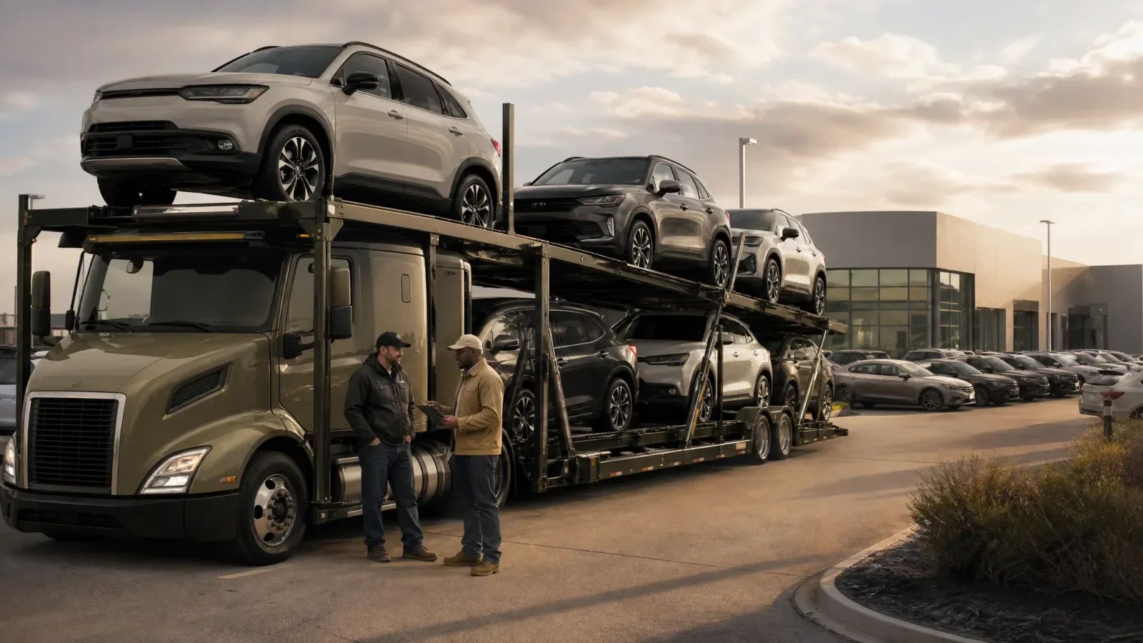
The dispatcher selects the auction and dealership stops in TruckTA’s web route planner and reviews the truck-route path and distances. Before leaving, the driver checks Route options against the loaded rig, including its height and weight, then opens directions to the next assigned stop.
The difference is what the route request considers. Instead of asking for a car route between two addresses, TruckTA requests a route using the truck profile. That may produce a different road path and drive time. The driver reviews the result and any restriction warning before starting, rather than assuming a familiar-looking map means every road is suitable.
Keep routing connected to the load
Routing fits into TruckTA’s broader operations workflow: loads and the dispatch board, Driver App pickup and delivery inspections and signed bills of lading, documents, invoicing, and driver settlements. The stops the driver navigates to are the same load stops the office dispatched.
Navigation and load status remain separate. Starting or ending navigation does not change a load’s status. Following directions to a dealership isn’t the same as recording a completed delivery.
TruckTA is trucking fleet management software built for car haulers, and truck routing is now part of the daily workflow. To explore the update, visit truckta.com with a typical pickup-and-delivery lane in mind. Consider how your dispatcher would review its stops and how your driver would check the truck profile before departure. That’s a concrete way to see where truck routing fits your operation.
Editorial references
Sources checked
Requirements can change and may depend on jurisdiction, vehicle, weight, operation, and driver status. Confirm current applicability with the responsible agency or a qualified adviser.
- developers.google.comdevelopers.google.com · checked October 9, 2026
- support.google.comsupport.google.com · checked October 9, 2026
Put it into practice
Keep your operation moving with TruckTA.
Bring loads, drivers, documents, payments, and settlements into one connected workspace.