
Use Driver App Maps in TruckTA
Follow the accompanying video to search destinations, enter loaded truck settings, review stops and services, and control navigation in TruckTA.
By TruckTA Team · Product guidance
Reviewed by TruckTA ·
This tutorial uses an AI-generated voice. The video and article explain the same reviewed TruckTA workflow.
Put the workflow to work
Solve the task with TruckTA
In this article
Open Maps
Before you start guidance, you need to confirm the destination, review the truck settings, and check that the route has finished calculating. This walkthrough accompanies “Use Driver App Maps in TruckTA” and follows a signed-in driver using a Google Android emulator. It demonstrates the controls, not a real drive. Watch the accompanying video and work through your own route planning while parked.
From Home, tap Map in the bottom navigation. The search bar is where you find places and addresses. The category row opens useful services. Start with the search bar when you have a destination in mind, or use the categories when you want to inspect a service location.
You can also tap Route all my stops to build a plan from the listed work. In the recorded account, that action returns a message that an address could not be found. Treat that as the outcome shown in this example, not a completed route. The walkthrough continues by searching for a destination directly; it does not show that the address error was fixed.
Search and save places
Tap Search an address and enter Dallas. Choose the result with the correct city and state. Before asking for directions, read the place name and address on its card. Make that review part of selecting the result rather than waiting until you’re ready to start guidance.
Tap Save to bookmark the place. The control changes to Saved. Search can show saved places and recent selections, helping you return without typing the destination again. Later in the walkthrough, choosing Dallas from Recent opens Directions again.
Tap Share to open the phone’s sharing choices. Review the place link and the available apps. This part of the recording shows the sharing choices only; no calls or messages were sent. Opening those choices should not be described as having shared the place with someone.
You can select a position directly on the map, too. Tap a clear location to drop a pin, then inspect its card before routing there. Whether you choose a search result or a map position, the next task is the same: read the selected location before asking the app to build directions.
Map view and layers
Close the place card and open Layers. Default shows the road map, Satellite changes the background imagery, and Traffic is a separate switch. Choose the information you need, then close the panel. Use the two D and three D control to change perspective, and drag the map to look around.
After looking around, use Show my location to return to the device’s location. Fold directions lowers an open card so you can inspect more of the map without losing the current task. The walkthrough then returns to address search for truck route planning.
Plan a truck route
Open Search an address, choose Dallas from Recent, and open Directions again. Wait for the truck route to finish loading before reviewing it. Expand the directions sheet to see the remaining controls, then tap Change beside the truck information to open Route options.

Enter the actual loaded vehicle dimensions and weight. Height and width use feet and inches; length uses feet. Weight uses pounds, and axles has its own field. Read the units as you work through the form so the values you enter match the fields. Select hazardous materials only when they apply to the load you are carrying.
The Tolls switch controls toll avoidance. Use the standard car hauler resets the form to its defaults. That reset and your actual loaded measurements are different things: after using the reset, review the form against the vehicle and load you’re planning for. Don’t treat the reset itself as confirmation that the displayed settings match your loaded setup. Save applies the reviewed preferences and updates the plan. The recording saves the existing values without changing the truck configuration.
When grey alternative routes appear, tap one on the map to select it. Read the updated time, distance, and main road before deciding. Compare the information for the selected alternative rather than carrying forward what you read for the previous route. This is the point to review both the destination and the truck settings before moving on to additional stops.
Build a multi-stop trip
In the directions sheet, tap Add stop. Search for Philadelphia and choose the Pennsylvania result. You now have the destinations used for the multi-stop example. As with Dallas, check which result you’re selecting rather than relying on the city name alone.
Use the arrows to move a stop up or down. Remove stop takes a destination out of this navigation plan; it does not complete a load. Keep that distinction clear when editing the itinerary. Here, you’re changing where navigation will take you, not recording that pickup or delivery work is finished.
In this recording, reordering the stops returns an address error. Stop and review the destinations before starting guidance. A changed list alone does not prove that the route recalculated successfully. Look at the result of the route calculation, not just the order displayed in the list.
Tap the control beside Your location to preview a route from the first stop instead. That preview succeeds between the two selected places in this example. Use my location returns to the device as the starting point, but the recording shows the address error again after that change.
The successful preview between the selected places and the error from the device’s location are separate outcomes in this demonstration. The walkthrough closes the error and later continues with a verified single-destination route. It does not show a successfully recalculated multi-stop route from the device after the error.
Find fuel and services
Close the route preview and tap Diesel. Nearby results include available location details, distance, and fuel prices when supplied. The sorting control switches between nearest first and cheapest first. Confirm displayed prices at the station; not every result includes prices or the same level of detail.

Open a station’s result to inspect its address and available details. Expand Hours when shown. Review the station card itself before moving on, rather than treating the nearby-results list as the full description of that location.
Close the station card and its results, then choose Rest areas. The category row also lets you explore Truck stops, Weigh stations, CAT Scales, Truck parking, Repair, Truck wash, and Tires. Use the category that matches the service you want to inspect.
Open an available trucking place and read its card. Details can include facilities, parking capacity, route actions, or driver reports. Those are possible card contents, not a promise that every location has all of them. In this walkthrough, the task is to inspect the available information and route actions before deciding whether to include a place in the trip.
Check the route ahead
Return to address search, choose Dallas, and open Directions again. Let the preview finish calculating, then review the time, distance, and main road. This is the single-destination route used to continue the demonstration after the earlier multi-stop errors.
Expand the directions sheet and open the line showing truck stops and weigh stations on the route. Ahead on your route helps you inspect upcoming places along the selected route. Select a place to review its position and available actions. Before guidance starts, Add to trip includes the place in the itinerary. During guidance, Add as next stop inserts a visit ahead of the remaining destinations.
After adding a place, review the stop order and updated estimate. Don’t finish your review at the place card: check the changed trip as well. The truck-stop card in this recording also shows parking reports. Scale and parking cards may offer controls for submitting an update, but no public reports were sent in this demonstration.
When a weather alert appears in the route preview, tap it to read the details. The summary shows how far ahead the alert lies, and a count indicates additional alerts. Open the details rather than relying only on the summary. Once you’ve reviewed the route weather information, close the weather panel and review the route once more.
Start and control guidance
Tap Start navigation when ready. Guidance shows the next maneuver, the following instruction when available, and the remaining trip information. Remember that the emulator is demonstrating these controls rather than showing a driver following the route on the road. If a truck restriction warning appears, read it before deciding whether to proceed. Report opens road-reporting choices, including crashes, slowdowns and hazards; the demonstration dismisses the menu without submitting anything.
Tap Mute voice guidance to silence spoken directions. Tap Turn voice guidance on to restore them. To reach all the service categories during navigation, open Filters. The highlighted switches show which pin layers are enabled.
Close the place card and tap the trip summary to open Edit trip. Review the remaining stops, add a place, change the order, or remove a stop. Use Update route to apply the itinerary, then recheck the next destination and estimate. The recording keeps the existing destination in this example.
Share trip opens the phone’s sharing options. Review what is being shared and select the intended recipient yourself. As with place sharing earlier, the recording demonstrates the sharing choices; it does not show a message being sent.
Tap End when you want to stop guidance. The confirmation offers Keep going or End navigation. Choose End navigation to finish. This stops the route and spoken guidance; it does not mark a load picked up or delivered.
Watch the accompanying video with your route planning in mind. While parked, review the destination, check the loaded truck settings, and confirm the calculated route before starting guidance. If you’re following the recorded example, keep its address errors separate from the successful previews shown later.
Read the video transcript
Find a destination, plan for your truck, and keep useful stops within reach. Let's explore Maps in the TruckTA Driver App. From Home, tap Map in the bottom navigation. This tutorial uses a signed-in driver on a Google Android emulator. Plan while parked, and check the actual road, signs, and truck restrictions before following any route. The search bar finds places and addresses. The category row opens useful services. Your stops lists work available to this driver. Show my location brings the map back to the device's position. Wait until the map has loaded before continuing. Tap Route all my stops to build a plan from the listed work. In this account, the app reports that an address could not be found. Check the stop information before trying again. We'll close this unsuccessful plan and use a searchable destination for the demonstration. Tap Search an address and enter Dallas. Choose the result with the correct city and state. Selecting a result opens its place card and moves the map there. This is a search example, not a delivery address for a real job. Read the place name and address before asking for directions. Tap Save to bookmark the place. The control changes to Saved. Search can show saved places and recent selections, which help you return to a destination without typing it again. Tap Share and allow the phone's sharing choices to open. Review the place link and available apps. Choose a recipient only when you intend to send it. We'll close the sheet without sending. A business card may also offer Call, Website, opening hours, and other details when available. You can also select a position directly on the map. Tap a clear location to drop a pin, then inspect its card before routing there. A dropped pin identifies a point; it does not confirm a suitable truck entrance. Close the place card and open Layers. Default shows the road map. Satellite changes the background imagery. Traffic is a separate switch. Choose the information you need, then close the panel to give the map more room. Use the two D and three D control to change perspective. Drag the map to look around, and use Show my location to return. Fold directions lowers an open card so you can inspect more of the map without losing the current task. Open Search an address and choose Dallas from Recent to open Directions again. Wait for the truck route to finish loading. The preview shows travel time, distance, and the main road. When alternatives are available, the comparison explains how the selected route differs in time. Expand the directions sheet to see the remaining controls. Tap Change beside the truck information to open Route options. Review these values for your actual vehicle before starting. The standard car-hauler values shown here are an example, not a measurement of your truck. Height and width use feet and inches. Length uses feet, weight uses pounds, and axles has its own field. Include the actual loaded vehicle dimensions and weight. Select hazardous materials only when they apply to the load you are carrying. The Tolls switch controls toll avoidance. Use the standard car hauler resets the form to its defaults. Save applies the selected preferences and updates the plan. For this demonstration, we'll save the existing values without changing the truck configuration. When grey alternative routes appear, tap one on the map to select it. Read the updated time, distance, and main road before deciding. A shorter estimate does not establish that every entrance, temporary restriction, or local condition is suitable for your vehicle. In the directions sheet, tap Add stop. Search for Philadelphia and choose the Pennsylvania result. The plan now contains more than one destination. Review the numbered order before starting, and allow the route to finish recalculating. The arrows move a stop up or down. Remove stop takes a destination out of this navigation plan; it does not complete a load. In this example, reordering returns an address error. Stop and review the destinations before starting guidance. A changed list alone does not prove the route recalculated successfully. Tap the control beside Your location to preview a route from the first stop instead. This preview succeeds between our two selected places. Use my location returns to the device as the starting point, but this example shows the address error again. We'll close it and continue with a verified single-destination route later. Close the route preview and tap Diesel. Nearby results include the available location details, distance, and fuel prices when supplied. The sorting control switches between nearest first and cheapest first. Treat displayed prices as information to confirm at the station. Open a station's result to inspect its address and available details. Expand Hours when shown. Call opens the phone action, Website opens the business site, and Share opens sharing choices. We'll inspect the card without contacting the business. Close that card and its results, then choose Rest areas. Use the category row to explore Truck stops, Weigh stations, CAT Scales, Truck parking, Repair, Truck wash, and Tires. Some categories use map pins; others return a list of places. Open an available trucking place to read its card. Details can include facilities, parking capacity, route actions, or driver reports. An empty result is not proof that no service exists. Check the selected category, search area, and connection before relying on it. Return to address search, choose Dallas, and open Directions again. Let the preview finish calculating, then review the time, distance, and main road. Once the route is ready, expand the sheet and open the line showing truck stops and weigh stations on this route. This view helps you compare places ahead along the selected route, rather than only around the current map view. Select a place to inspect its position and available route actions. Before guidance starts, Add to trip includes it in the itinerary. During guidance, Add as next stop inserts a visit ahead of the remaining destinations. Review the order and updated estimate after a change. This truck-stop card also shows parking reports. Scale and parking cards may offer controls for submitting an update. Check the report's age. Only report a condition you have actually observed. This emulator cannot verify conditions at the site, so we will not submit a report. When a weather alert appears in the route preview, tap it to read the details. The summary shows how far ahead the alert lies, and a count indicates additional alerts. Review the actual notice; an alert summary alone is not a complete picture of driving conditions. Close the weather panel and review the route once more. Tap Start navigation when ready. If a truck restriction warning appears, read it before deciding whether to proceed. Do not use a confirmation button as a substitute for resolving an unsafe route. Guidance shows the next maneuver, the following instruction when available, and the remaining trip information. This emulator demonstrates the controls rather than a real drive. Actual instructions and arrival estimates change as the device moves. Report opens road-reporting choices, including crashes, slowdowns, and hazards. We will dismiss this menu without submitting anything. Tap Mute voice guidance to silence spoken directions. Tap Turn voice guidance on to restore them. The map perspective control remains available during guidance. Adjust these controls while stopped so your attention can stay on driving afterward. Open Filters to reach all the service categories during navigation. The highlighted switches show which pin layers are enabled. Close Filters, then open Ahead on your route to see upcoming trucking places. Select a place and inspect its card. During guidance, the route action changes to Add as next stop. Close the place card, then tap the trip summary to open Edit trip. Review the remaining stops, add a place, change the order, or remove a stop. Use Update route to apply the itinerary, then recheck the next destination. We'll keep the existing destination in this example. Share trip opens the phone's sharing options. Review what is being shared and select the intended recipient yourself. We'll cancel without sending. If a trip cannot resume, read the message and check the connection before retrying. Verify the destination before continuing. Tap End when you want to stop guidance. The confirmation offers Keep going or End navigation. Choose End navigation to finish. This stops the route and spoken guidance; it does not mark a load picked up or delivered. Search carefully, verify your truck settings, and review every change to the route. Use Maps to prepare your next move, and confirm the real conditions before you drive.
Put it into practice
Keep your operation moving with TruckTA.
More ways to use TruckTA
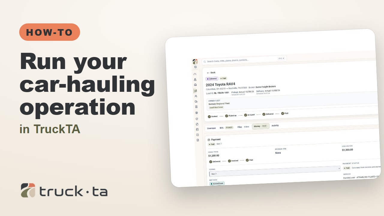
Run Your Car-Hauling Operation in TruckTA
Follow a job through preparation, dispatch, driver work, financial close, and owner-operator access, with a practice checkpoint for each part of the six-part TruckTA course.
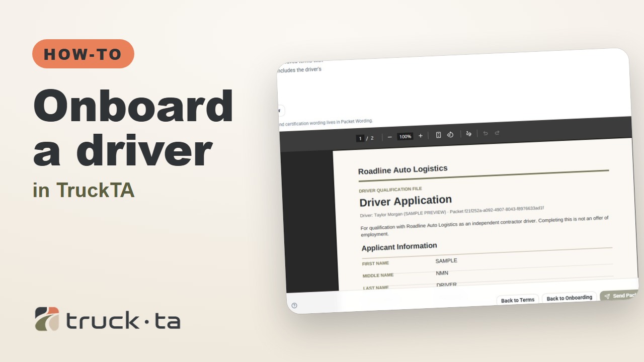
Onboard a Driver in TruckTA
Follow the TruckTA video to prepare an applicant packet, check company-approved terms, and preview the documents. Then see how submission, review, signing, and the Driver record fit together.
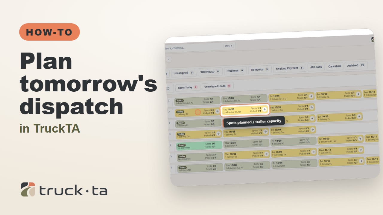
Plan Tomorrow's Dispatch in TruckTA
Review planned work, tomorrow’s open trailer spots, unassigned loads, and driver availability in TruckTA before assigning the next load.